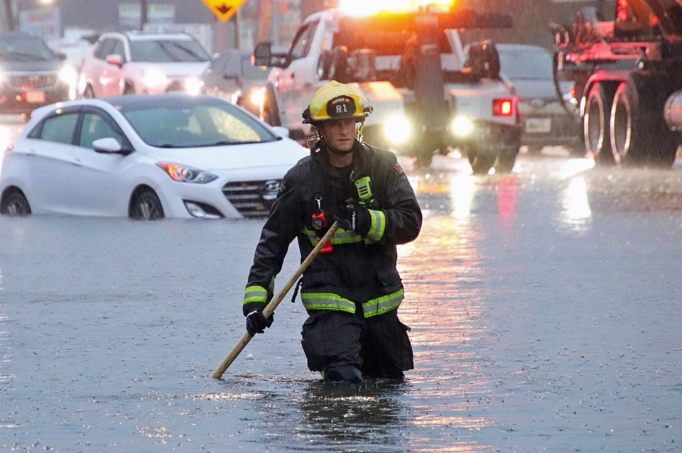
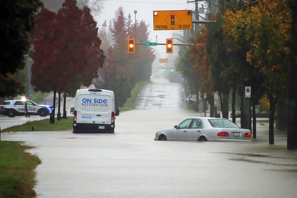
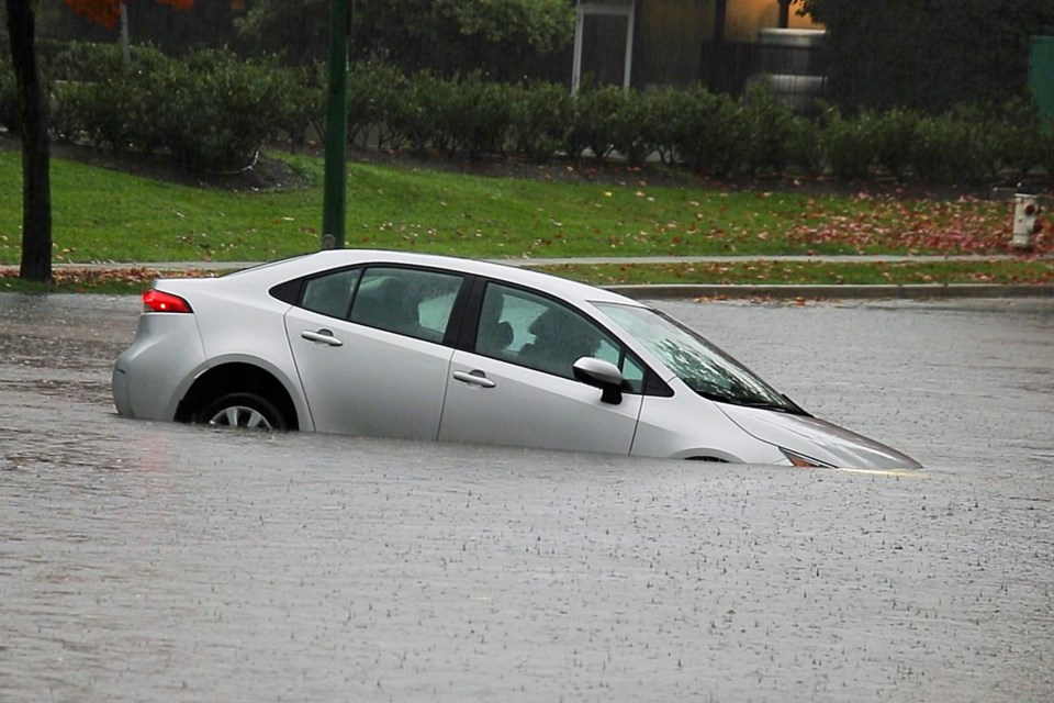
There is flooding across the Lower Mainland this Saturday as an atmospheric river moves through the region.
Langley RCMP report a possible sinkhole is forming on 40th Avenue between 216 and 212 streets — 40th Avenue is closed in this section.
"Heavy rainfall within the past 24 hours has compromised the stability of the roadway..." said Cpl. Zynal Sharoom of the Langley RCMP.
In the meantime, photos of cars half covered in water in Burnaby's Still Creek area, and logs crashing down Lynn Creek in North Vancouver have been posted on social media platform X.
Vancouver police are reporting that there are road closures at Clark Drive and Hastings Street, Clark Drive and Williams Street, Knight Street between East 12th and East 14th avenues, as well as at Oak Street and 57th Avenue.
Burnaby firefighters have helped several people out of their cars, according to Shane MacKichan.
In Richmond, the Westminster Highway exit on eastbound Highway 91 is closed due to the flooding.
Surrey RCMP are asking the public to avoid the intersection of King George Boulevard and 128 Street, again due to flooding, as well as the intersection of 76th Avenue and 152nd Street where water was waist-high Saturday morning.
The River Forecast Centre has issued a flood warning for West Vancouver Island including rivers around Tofino, Bamfield and Port Renfrew.
Flood watches have been issued for the South Coast including the Sunshine Coast, Howe Sound, Sea to Sky and tributaries around Sechelt, Squamish, Whistler and surrounding areas, Lillooet River and rivers around Pemberton, Metro Vancouver, and the Fraser Valley.
The rain is expected to continue until late afternoon on Sunday, according to Environment Canada.
For weather updates, go to .


